Revolutionizing Environmental Monitoring
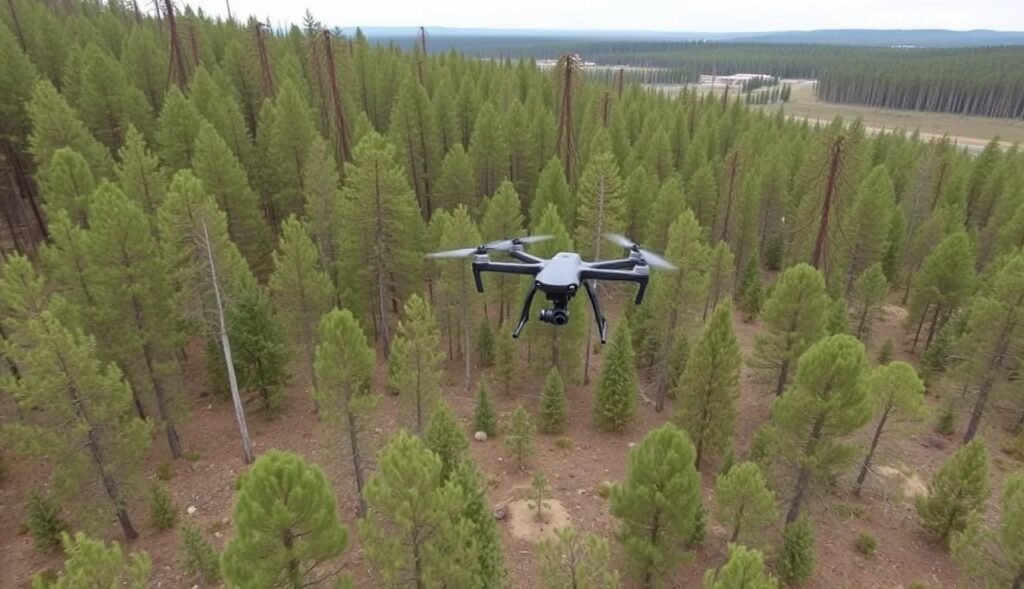
Drones have transformed how we monitor reforestation and measure carbon sequestration, providing unparalleled accuracy and efficiency.
These high-tech tools allow us to track reforestation progress in real time, gather extensive data, and calculate carbon storage with precision. Their rapid deployment and versatility make them indispensable in environmental conservation efforts.
Why Traditional Methods Fall Short
Conventional methods of monitoring forests are labor-intensive, time-consuming, and often imprecise.
- Ground surveys require human teams to traverse rugged terrain.
- Satellite imaging lacks the resolution to capture smaller forest details.
Drones bridge this gap by offering detailed, scalable solutions.
Drone Technology in Action
Aerial Mapping with Precision
Drones equipped with advanced LiDAR (Light Detection and Ranging) and multispectral cameras capture high-resolution images.
- These images reveal details like tree density, height, and overall health.
- Algorithms process this data to create 3D models of forests, enabling precise assessments.
This technology tracks forest regeneration over time, crucial for monitoring the impact of reforestation projects.
Carbon Measurement Sensors
Some drones carry sensors that estimate carbon stored in vegetation. They analyze biomass through infrared imaging and reflectance data.
- Vegetation indices, like NDVI (Normalized Difference Vegetation Index), help gauge tree growth.
- Data contributes to carbon sequestration models, offering real-time insights into climate benefits.
Planting Seeds from Above
Did you know drones can also plant seeds?
- Special drones drop seed pods containing nutrients and water.
- This speeds up reforestation, especially in hard-to-reach areas.
Real-Time Data for Forest Health
Identifying Threats Early
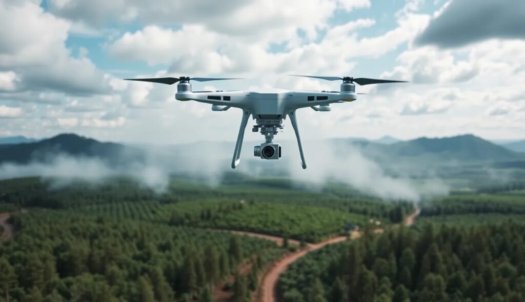
Drones detect problems like pest infestations, diseases, or illegal logging before they escalate.
- Thermal imaging spots stressed vegetation.
- AI-powered analytics predict future risks, helping authorities act fast.
Tailored Interventions
Insights from drones allow for targeted action. For example:
- Restoring specific degraded zones.
- Adjusting planting techniques based on soil quality data.
Boosting Reforestation Efficiency
Reducing Costs and Effort
By automating data collection, drones reduce costs compared to manual methods.
- A single drone can survey hundreds of acres in hours.
- This efficiency accelerates reforestation timelines.
Collaborating with Local Communities
Drone data empowers local communities to manage their forests effectively.
- Training programs teach them to use drones.
- Access to data fosters sustainable forest management.
Case Studies: Drones Transforming Forest Management
Indonesia: Restoring Mangroves
Indonesia’s mangrove forests are vital for carbon storage and coastal protection. Drones are revolutionizing their restoration:
- They map damaged areas with high accuracy, identifying zones for targeted planting.
- Using specialized seed-planting drones, they deposit propagules directly into the soil.
This approach accelerates restoration and tracks survival rates, ensuring reforestation efforts deliver measurable results.
Brazil: Monitoring the Amazon
In the fight against deforestation in the Amazon Rainforest, drones play a crucial role:
- They capture high-resolution images of illegal logging operations.
- Data is shared with authorities in real time, enabling rapid intervention.
Additionally, drones track the success of reforestation projects, mapping carbon sequestration over time.
Kenya: Combatting Desertification
Kenya is using drones to restore degraded lands in arid regions.
- Drones distribute seed balls in areas threatened by desertification.
- These efforts improve biodiversity and carbon capture, transforming barren landscapes into thriving ecosystems.
Scaling Drone Technology Globally
Expanding Accessibility
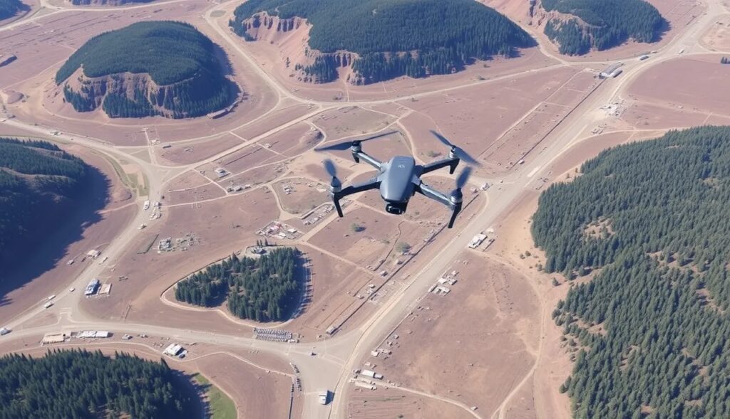
Many conservation groups are adopting drones, but challenges remain.
- High costs of equipment and training limit widespread use.
- Partnerships with tech companies and NGOs are closing this gap.
For instance, open-source platforms reduce software costs, and affordable drone models make adoption easier.
Policy Support and Funding
Governments and organizations are stepping up to support drone initiatives.
- Grants and subsidies fund drone purchases for conservation projects.
- Policy frameworks regulate drone use, ensuring safety and privacy compliance.
Collaboration Across Borders
International collaborations are driving innovation. For example:
- Research teams share drone-collected data to refine carbon modeling.
- Joint efforts combat cross-border environmental issues like deforestation.
How Drones are Reshaping Conservation
Precision at an Unprecedented Scale
Drones aren’t just high-tech gadgets; they’re precision tools that unlock new dimensions of environmental monitoring. Unlike satellites or manual surveys, drones work on a hyper-local level, identifying microchanges invisible to other methods.
- Fine-scale monitoring: Drones can detect variations in individual tree health.
- Dynamic adaptability: They adjust flight paths and data collection in real time, reacting to new observations.
This micro-level insight drives data-driven conservation, where every decision is backed by precise analytics.
Revolutionizing Carbon Sequestration Metrics
Traditionally, estimating carbon sequestration required time-consuming fieldwork and assumptions based on averages. Drones disrupt this approach with real-time, exact measurements.
- 3D forest modeling: By scanning trees with LiDAR, drones calculate biomass and carbon storage more accurately than ever.
- Seasonal tracking: Frequent flyovers track changes in carbon capture as forests grow, offering dynamic insights into reforestation progress.
This detailed tracking helps fine-tune global climate strategies, ensuring every ton of carbon stored is accounted for.
Empowering Communities with Knowledge
Drones aren’t just for governments or large NGOs—they’re tools of empowerment for local communities.
- Community training programs teach residents how to pilot drones and analyze data.
- Decentralized monitoring enables small groups to protect and restore their own forests, even in remote regions.
This democratization of technology shifts conservation from being a top-down effort to a grassroots movement, amplifying its impact.
Enhancing Biodiversity through Better Planning
Healthy ecosystems rely on biodiversity, and drones offer specialized insights for optimizing it.
- Multispectral imaging reveals where different species thrive, guiding species-specific planting.
- Habitat mapping ensures that reforestation supports wildlife, from small mammals to pollinators.
By integrating biodiversity into reforestation, drones don’t just grow trees—they rebuild ecosystems.
Bridging the Data Gaps
Conservation has long suffered from a lack of timely, accurate data. Drones bridge this gap by:
- Providing real-time updates to decision-makers.
- Reducing data lags in reporting deforestation or restoration progress.
For policymakers, this means better planning and accountability. For conservationists, it means focusing resources where they’re needed most.
The Future of Drones in Reforestation
AI-Driven Insights
Artificial intelligence will further enhance drone capabilities:
- Predictive analytics can forecast carbon sequestration potential based on growth patterns.
- Machine learning improves pest detection, minimizing forest losses.
Autonomous Swarms
Imagine fleets of drones working together:
- Seed-planting drones, mapping drones, and monitoring drones operating simultaneously.
- This would drastically scale reforestation efforts.
Integrating IoT Sensors
Drones paired with Internet of Things (IoT) devices create a comprehensive monitoring network.
- IoT sensors measure soil moisture and nutrient levels.
- Drones sync with these sensors to optimize planting and monitoring strategies.
Driving Climate Action with Drones
Drones aren’t just tools; they’re game-changers in our fight against climate change. They accelerate reforestation, measure carbon capture, and provide actionable insights for sustaining our planet.
FAQs
Can drones actually plant trees?
Yes! Special drones are designed to carry and drop seed pods in targeted areas.
- These pods often contain pre-germinated seeds, nutrients, and water for optimal growth.
- A notable example is a project in Myanmar, where drones planted over one million mangrove trees along the coast, achieving faster reforestation than manual methods.
What kinds of forests benefit most from drones?
Drones excel in remote or challenging terrains where traditional methods are difficult.
- Tropical rainforests, like the Amazon, benefit from high-resolution monitoring that spots illegal logging.
- In arid regions like Sub-Saharan Africa, drones efficiently reforest degraded lands by distributing seeds in vast areas.
How do drones contribute to carbon sequestration?
Drones help measure biomass and carbon storage by analyzing vegetation growth.
- For example, in Canada, drones tracked the carbon capture rates of regrown boreal forests after wildfires.
- These insights are invaluable for carbon-offset programs and climate change mitigation strategies.
Are drones cost-effective for conservation?
Drones significantly lower costs compared to traditional methods.
- For instance, a single drone can survey hundreds of acres in hours, reducing the need for large field teams.
- A project in the Philippines used drones to monitor coral reefs and mangrove forests, saving both time and money while improving accuracy.
What limitations do drones face in reforestation projects?
While drones are powerful, they’re not without challenges:
- Limited battery life restricts their range. In expansive forests like the Congo Basin, multiple drones or batteries are required.
- Adverse weather, such as strong winds or heavy rain, can disrupt operations.
However, advances in technology, like solar-powered drones, are mitigating these issues.
How is drone technology evolving for conservation?
Drone technology is rapidly advancing:
- Autonomous fleets are being tested to plant trees and map areas simultaneously.
- In Norway, drones with AI capabilities are monitoring Arctic forests to study climate change effects.
These innovations promise to expand the impact of drones on global conservation efforts.
Can communities use drones without technical expertise?
Yes! Many programs offer training sessions to empower local communities.
- In Tanzania, a nonprofit trained villagers to use drones for monitoring illegal logging.
- Open-source platforms and simplified interfaces make drone technology more accessible to non-experts, fostering community-driven conservation.
What role does artificial intelligence play in drone monitoring?
AI enhances drone capabilities by analyzing data faster and more accurately.
- For example, AI identifies stressed vegetation or pest outbreaks from thermal and multispectral images.
- In Costa Rica, AI-powered drones predicted carbon sequestration rates by analyzing growth patterns of newly planted trees.
This integration of AI allows for proactive conservation efforts, detecting potential issues before they escalate.
How do drones track illegal logging?
Drones equipped with real-time cameras and sensors detect unauthorized activities in forests.
- They can fly over large areas, capturing high-resolution images that reveal logging sites and vehicle movements.
- In the Amazon, drones helped pinpoint illegal logging hotspots, leading to timely law enforcement intervention.
This rapid response capability is critical for preserving endangered forests.
Can drones assess soil quality for reforestation?
Yes, drones with hyperspectral imaging analyze soil composition, detecting nutrient levels and moisture content.
- In India, drones identified areas with depleted soil, guiding reforestation teams to amend the soil before planting.
- This ensures higher seed survival rates and long-term forest health.
These insights make reforestation efforts more strategic and sustainable.
How do drones help with biodiversity conservation?
Drones monitor habitats and species distribution to enhance biodiversity planning.
- In Malaysia, drones tracked the return of wildlife to reforested areas, like orangutans using newly grown trees as corridors.
- By mapping diverse plant species, drones also support efforts to recreate natural ecosystems.
This focus on biodiversity ensures reforestation efforts aren’t just about trees but whole ecosystems.
How are drones powered in remote areas?
Drones typically rely on batteries, but innovations are improving their endurance:
- Solar-powered drones are being developed for extended flights, especially useful in sunny regions like Africa.
- Hybrid models combine electric and fuel-based power for greater range.
For instance, in Nepal’s mountainous terrain, drones with advanced battery systems successfully surveyed reforestation projects despite challenging conditions.
Can drones be used to monitor marine environments related to forests?
Absolutely. Coastal forests like mangroves are directly linked to marine ecosystems, and drones excel at monitoring both.
- In Thailand, drones mapped mangrove health and nearby coral reefs, highlighting their interconnected benefits.
- By studying sediment runoff from deforested areas, drones help assess the impact of land practices on marine environments.
This comprehensive approach aids in protecting ecosystems that span land and sea.
Are there ethical concerns about using drones in conservation?
Yes, but these are being addressed through guidelines and best practices:
- Privacy concerns arise when drones fly over inhabited areas, but strict protocols ensure data is only collected where needed.
- Wildlife disturbance is another issue, but quieter drones and strategic flight paths minimize stress to animals.
For example, in Canada, conservationists used low-noise drones to study caribou without disrupting their natural behaviors.
What’s the future potential of drones in global reforestation efforts?
The future holds limitless possibilities, including:
- Autonomous swarms of drones planting millions of trees in synchronized efforts, scaling projects faster than ever.
- Integration with satellites and IoT sensors for holistic environmental monitoring.
- Blockchain technology ensuring transparent carbon offset credits linked to drone-verified forest data.
In Ethiopia, a pilot program already demonstrates the power of combining drones with IoT to track reforestation progress in real time.
How are drones making carbon markets more reliable?
Drones provide accurate and verifiable data on forest carbon storage, strengthening the credibility of carbon offset programs.
- In Peru, drone-collected biomass data supported certifications for a carbon credit project, attracting global investors.
- By reducing fraud and inaccuracies, drones ensure carbon markets remain trustworthy and effective.
This builds confidence for businesses and governments investing in climate action.
Resources: Learn More About Drones in Conservation
Organizations Leading Drone-Based Conservation
- World Resources Institute (WRI)
WRI works on innovative solutions for climate change and reforestation, leveraging drone technology.
Visit: www.wri.org - DroneSeed
A company specializing in reforestation through drone-assisted seed planting and environmental monitoring.
Visit: www.droneseed.com - Rainforest Alliance
This global nonprofit uses drone data to monitor forest health and combat deforestation.
Visit: www.rainforest-alliance.org
Research Papers and Reports
- “The Role of Drones in Forest Restoration”
This detailed report explores how drones enhance biodiversity and carbon sequestration efforts.
Available on: ScienceDirect - “Remote Sensing for Carbon Monitoring”
A comprehensive paper on how drones and satellite imagery work together to measure carbon storage.
Access: Nature Journal - FAO Report on Forest Innovations
The Food and Agriculture Organization (FAO) details drone applications in sustainable forestry.
Download: FAO Reports
Learning Platforms and Certifications
- Drone Pilot Certification by FAA
Learn the skills and legalities of operating drones, crucial for conservation projects in the U.S.
Start here: www.faa.gov - Conservation Drone Academy
A training platform offering courses in drone piloting for environmental projects.
Visit: www.conservationdrones.org - Udemy: Drone Mapping for Conservation
A hands-on course teaching mapping, imaging, and data analysis for reforestation and monitoring.
Explore: www.udemy.com
Tools and Software
- Pix4D
A leading drone mapping software, perfect for creating 3D forest models and analyzing vegetation data.
Visit: www.pix4d.com - Global Forest Watch (GFW)
A platform providing real-time forest data, integrating drone and satellite monitoring.
Access: www.globalforestwatch.org - QGIS
Open-source Geographic Information System (GIS) software for mapping drone-collected data.
Learn more: www.qgis.org
Case Studies and Blogs
- Drones and Forest Conservation (National Geographic)
Insightful articles about real-world drone applications in forests around the globe.
Read: www.nationalgeographic.com - Blog: Reforestation Tech
Explore updates and trends in drone technology for planting and monitoring forests.
Visit: www.reforestationtech.com - Case Study: Mangrove Restoration in Myanmar
A detailed account of how drones helped plant over a million mangroves.
Find it: DroneSeed Blog
Advocacy and Policy Resources
Environmental Defense Fund (EDF)
EDF explores innovative methods, including drones, to tackle deforestation and monitor emissions.
Learn more: www.edf.org
United Nations Framework Convention on Climate Change (UNFCCC)
Discover how drone technology is shaping global climate policies and carbon markets.
Explore: www.unfccc.int
